3D camera for real estate: 3D or 360, which one to buy?
A 3D camera for real estate measures the rooms; a 360 camera photographs them. What each one costs, what buyers see and four questions to choose.
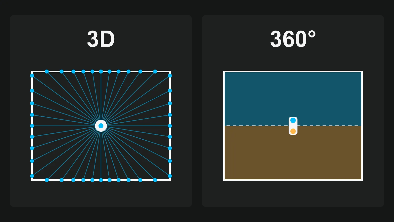
A 3D camera for real estate measures the distance to every wall and builds a model of the home. A 360 camera photographs the whole room from one spot and leaves the home as linked photos. Buy the 3D camera when you sell the model itself: measured plans, a dollhouse view, spaces for builders or commercial clients. Buy the 360 camera when the job is showing every room to buyers from a link, at every listing.
What each camera records
A 3D camera adds a depth sensor to the lens. Matterport says its Pro3 "combines LiDAR scanning with high-resolution photogrammetry" and quotes accuracy of +/- 20 mm at 10 m. Those are the maker's figures. The platform then joins the scans into one model, with Inside, Dollhouse and Floor Plan views.
A 360 camera has two lenses back to back and joins their pictures into one sphere. It records no distance at all. Matterport's own guide says of the Insta360 X5, a camera it supports, that it has "No depth or spatial measurement capability". What you get is a standard 2:1 photo file, one per spot, that you link into a tour. For the models and their specs, see our comparison of 360 cameras for real estate.
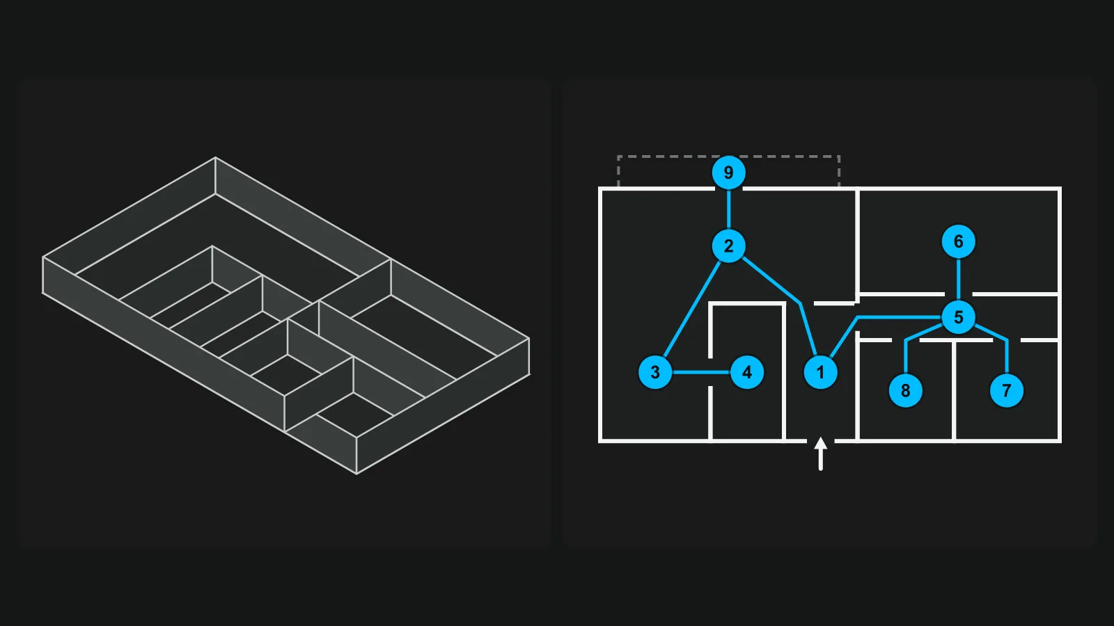
3D or 360 side by side
| 3D camera | 360 camera | |
|---|---|---|
| Example price | Matterport Pro3 from $3,995, taxes and shipping extra; iGUIDE PLANIX R1 at C$3,499 | About $400 to $1,000 in our comparison of six models |
| What it records | Colour and distance | Colour |
| Stops in a home | Many: Matterport's help has given 5 to 8 ft between scans indoors, and for the Pro3 at most 8 m in large open areas | One or more per room |
| What buyers get | A model, room views, a generated plan | Room-to-room photos, plus a plan if you add one |
| Measurements | From the scan | Estimated from the camera height, or from a tape |
| Running cost | Matterport: Professional 10 at $108 a month or $1,080 a year. iGUIDE: no subscription, a fee per project, from C$48 for Standard | Depends on the platform |
| If you stop paying | On Matterport, every space in the account is unavailable until you reactivate it | The photo files stay on your drive and open in other viewers |
Matterport's plan prices and cancellation terms were last read on 31 Oct 2026 and may change, so check them on the day.
The number of stops is the row people miss. On a plan of the same flat, the difference looks like this.
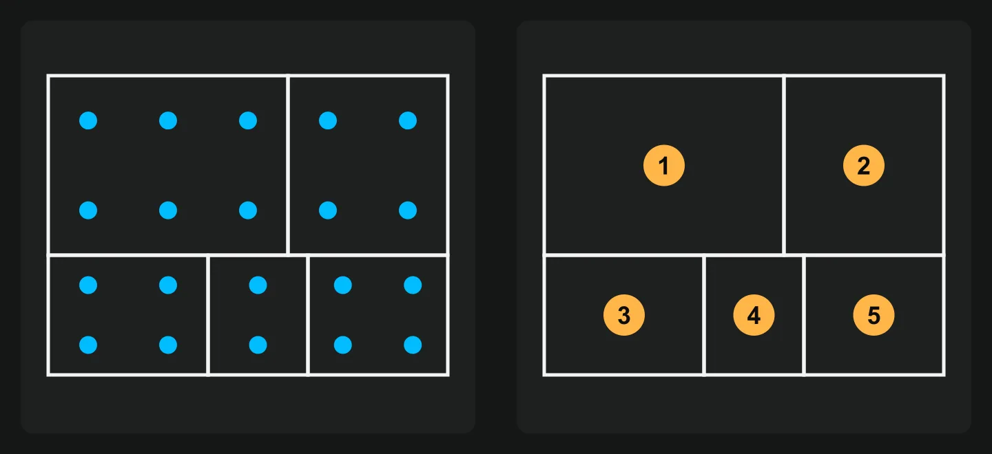
iGUIDE reports under 15 minutes for 2,500 sq ft with its camera, so the time depends on the system. That is a vendor's figure too. Time it on one of your own homes before you decide.
The third route: a 360 camera on a 3D platform
The camera no longer settles the question alone. Matterport says the Ricoh Theta models and the Insta360 X5 can feed its platform to make 3D tours. In the US, Zillow says you can capture a virtual tour with just a phone, but that a compatible 360 camera is required for its interactive floor plan.
So a 360 camera can produce a model on those services. What you do not get is the laser's depth data, and Matterport's guide says of the X5 that it is "Less suited for producing measurement-grade outputs". You also tie the camera to that platform's list of supported models, which changes.
Four questions to choose
- Is the model what you sell? Builders, large homes and commercial spaces often pay for a scan and a measured plan. If that is your client, the 3D camera earns its price.
- How many listings a year? Add the camera to twelve months of the plan: a Pro3 and Professional 10 paid yearly is $3,995 + $1,080 = $5,075 before tax. Divide it by your listings. If the answer is high, hire a scan for the home that needs one.
- Who shoots? A camera you trigger from your phone fits in a jacket pocket, so it can go to every listing appointment and every home, not only the big ones.
- Do you need the measured figure? A scan does not decide what counts. In the US, Fannie Mae holds sketching and 3D scanning output to the same standard, and you still have to apply the rules in our guide on how to measure square footage.
One way to start is with the 360 camera on every listing, plus a hired scan or a drawn plan when a home calls for it. Our real estate photography tips cover the rest of the shoot.
If you take the 360 route
The photos are only half of the tour. Before you buy, test a sample file from the camera with the free 360 photo checker, which looks at its shape, resolution, horizon and seam. After the shoot, the free tools to hide the tripod and straighten a photo fix what the camera leaves behind.
In Vistura those two fixes are built in, so no separate tools are needed: "Straighten" is on every plan, and on Pro and Business "Hide the tripod" covers every photo with "Apply to all photos".
Vistura takes standard 360 photos from any 360 camera ("From a 360° camera, or 360° photos you already have.") and from Vistura Capture on the phone, in the same tour. Start with the phone and add a camera later: the tours you built stay as they are. Buyers can use "Measure" to get estimated distances and heights in the photo, based on the camera height you set.
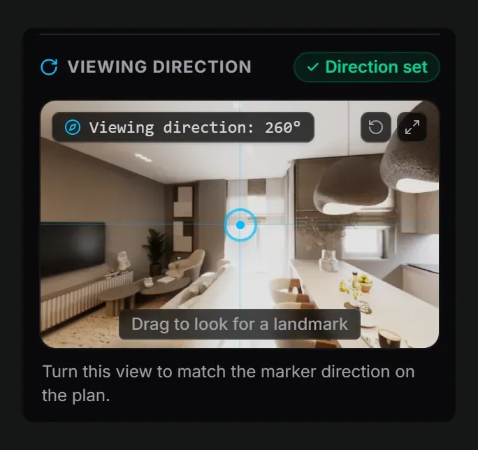
On Pro and Business, the overview comes from the plan. You upload or draw it, place each photo on it, and set the direction each photo faces. Buyers see where they are and tap a room to go there, and "Before you call" tells you which rooms each lead looked at. See the plans.
The short version
Buy a 3D camera when the model or the measured plan is what your client pays for. Otherwise put a 360 camera or your phone on every listing, and hire a scan for the home that needs one. Our virtual tour guide shows what to do with the photos next.
Frequently asked questions
Is a 360 camera a 3D camera?
No. A 360 camera records colour in every direction from one spot and has no depth sensor. It can still feed a 3D platform: some services build a model from many 360 shots, which is why listings of "3D cameras" often include 360 models.
Can I get a floor plan without a 3D camera?
Yes. You can draw one from a tape or laser measure, or have it drawn from the existing plans. Our floor plan guide covers three ways to get one, and what it should show.
Does a LiDAR scan give me the official square footage?
No. It gives you lengths. What counts as finished area still comes from the standard or the MLS rule you follow, and in the US Fannie Mae holds scanning output to the same standard as any other sketch.
Should I buy a camera or hire a photographer?
Work it out from your volume. A few listings a year rarely pay back a scanner plus its plan, so hiring per job often wins there. A 360 camera costs far less and pays for itself sooner, because you shoot it yourself at every listing appointment.